Network Assessment, Recommendations and Signage Plan
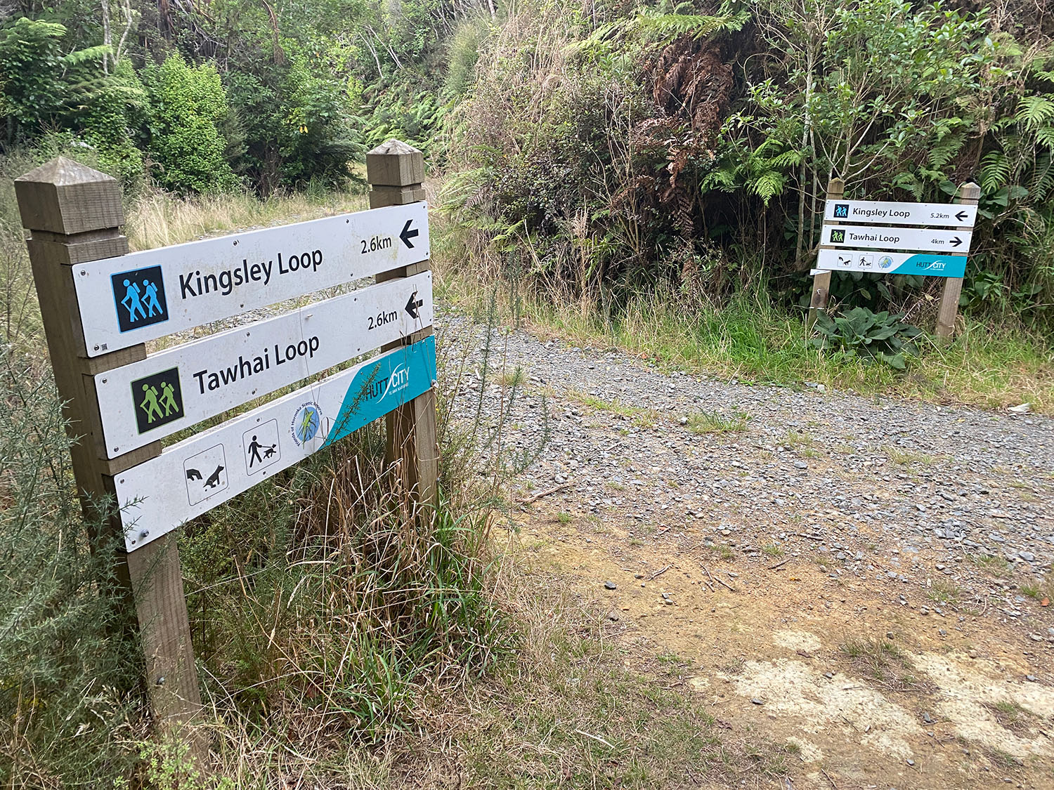
Xyst physically inspected the full network of Eastern Hills Tracks in Hutt City Council to inform a track signage condition report, with an associated spatial plan showing existing signage locations and images.
We then developed a signage plan to improve track user way-finding and safety. We made recommendations for where the tracks traverse private land and provided a signage hierarchy, mocked up high level content for the sign family and proposed the graphic layout for content.