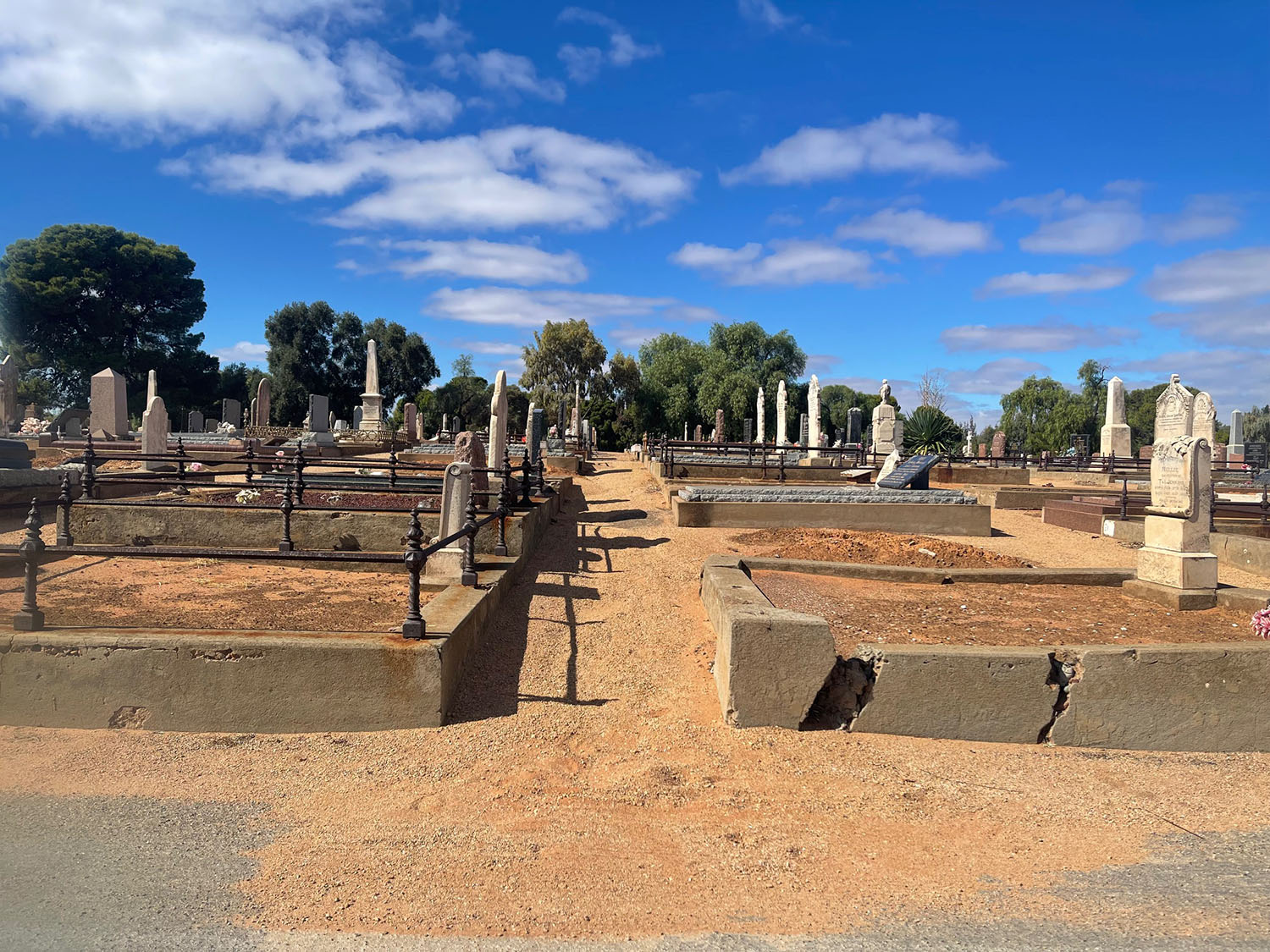
Xyst carried out GIS mapping of two cemeteries in South Australia – Port Pirie Cemetery and Crystal Brook Cemetery.
The purpose of this project is to enhance site management; the digital mapping simplifies the organisation and retrieval of cemetery records making data management more efficient for council and public.
The benefit to Port Pirie Regional Council was to streamline record-keeping, providing a clear view of available plots and usage, and helping to optimise cemetery space.
The data collected within the GIS mapping will help with future planning for future growth and development of cemetery areas.