Business Improvement Plan
Greenspace Services Xyst conducted a business health check, or service review, of the open space and sports field Business Units. This review aimed to identify gaps in the business and provide recommendations for improving service delivery, management practices and strategically positioning council (parks maintenance) for the next ten years. The review incorporated the factors that […]
Pest Plant Mapping Project
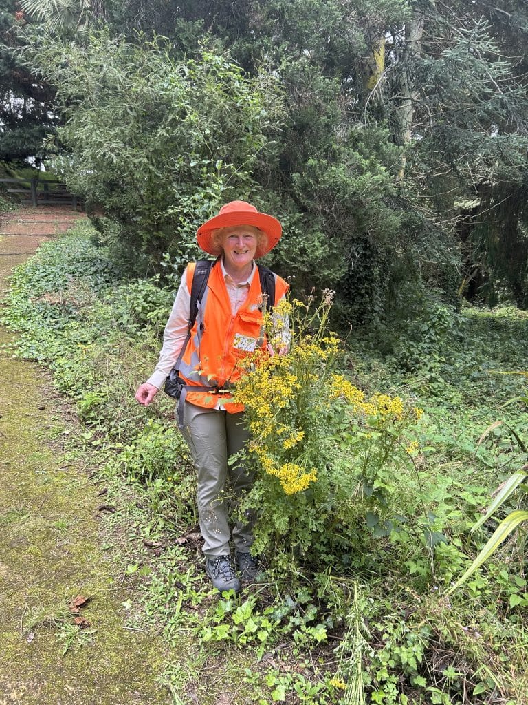
Project planning and scoping was undertaken to determine methodology – including determining data collection attributes, priority sites, excluded sites and biosecurity protocols. Pest plant data was captured spatially (points and polygons) based on agreed data collection attributes using handheld mobile devices. For each site, observations were also recorded of other environmental weeds that were impacting […]
Shade Audit
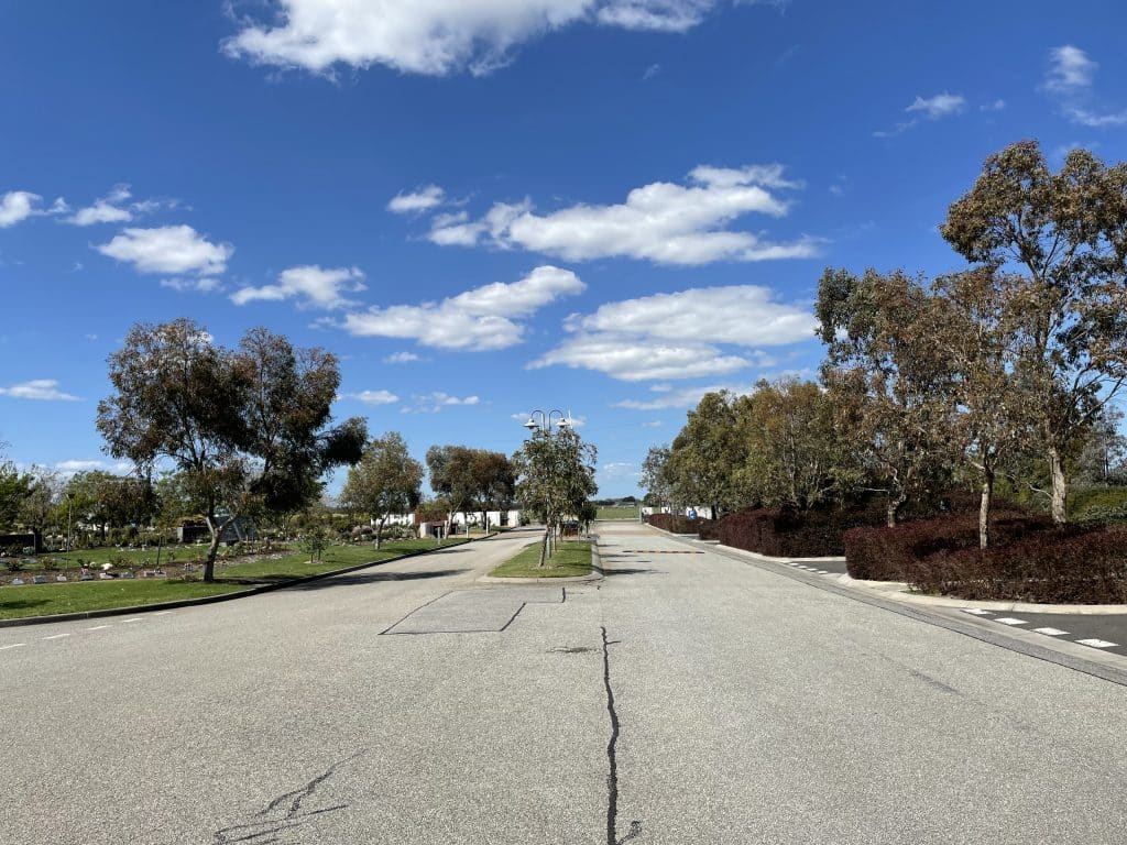
Bunurong Memorial Park The project involved undertaking a comprehensive shade audit at Bunurong Memorial Park to assess the adequacy and effectiveness of both natural and built shade for customers and staff. Xyst undertook observations of radiant light across the site and its materials to understand how light behaves (bounces) within different spaces. This approach enables […]
CPTED Site Assessment Report
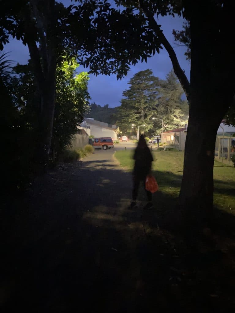
Rex Morpeth Park Xyst reviewed recent incidences of crime and other safety issues at Rex Morpeth Park – analysing data and interviewing local police, Neighbourhood Support, WDC’s Aquatics and Open Spaces teams and the Athletics Club to better understand the specific issues. CPTED site assessments were then undertaken, during both day and night time visits, […]
Business Improvement Plan
Greenspace Services Blacktown City Council engaged Xyst to identify gaps in their parks, gardens, sports fields and playgrounds operations and recommend steps to bridge these gaps. This ensures the Greenspace Business Unit are well-informed and positioned to plan and deliver high-quality, economically sustainable open space services, that meet current and future demands, while fulfilling community […]
Asset Data Collection at Childcare Centres – City of Port Phillip
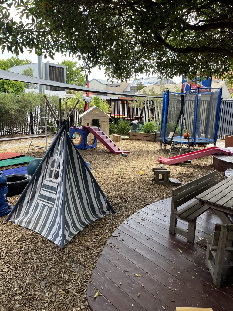
The City of Port Phillip planned to tender the maintenance of outdoor play spaces across its childcare centres but lacked a clear understanding of the type, quantity and condition of its outdoor assets. This uncertainty would have resulted in tenderers inflating prices to account for risk and incomplete information. Xyst delivered an asset data capture […]
Yardstick Trails User Survey
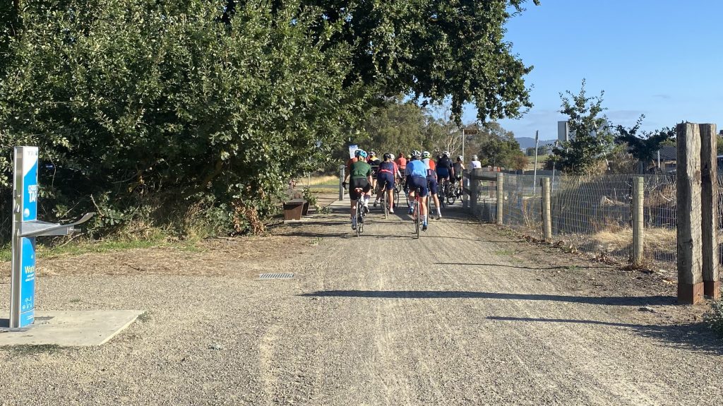
Yarra Ranges Council asked Xyst to carry out a targeted intercept survey of the Lilydale to Warburton Rail Trail and the Yarra Valley Trail. For the survey we used the Yardstick Trail User Survey developed specifically for Yarra Ranges in 2019, and suitable for use on any trail. The survey includes a set of questions […]
Yardstick Parks User Survey
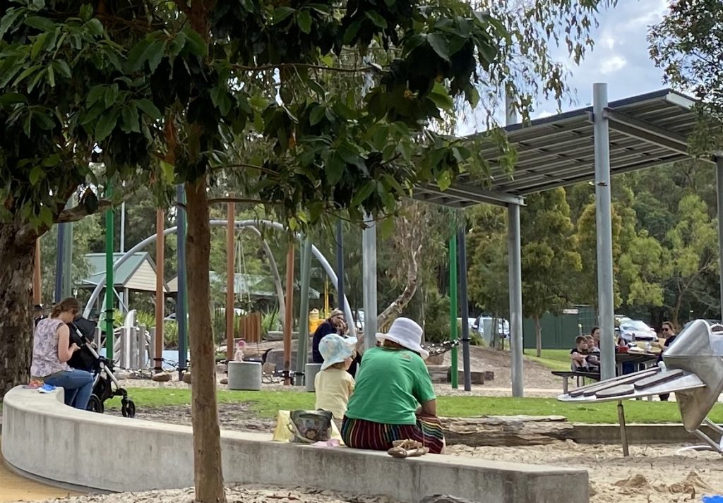
Yarra Ranges Council asked Xyst to carry out a Yardstick parks user survey on fifteen of its parks and reserves. The intercept survey includes around 40 questions, some of which were optional additions to the standard survey content. The survey took place in November 2025 and involved collection of 180 intercept surveys to collect data […]
Tararua Public Tree Inventory
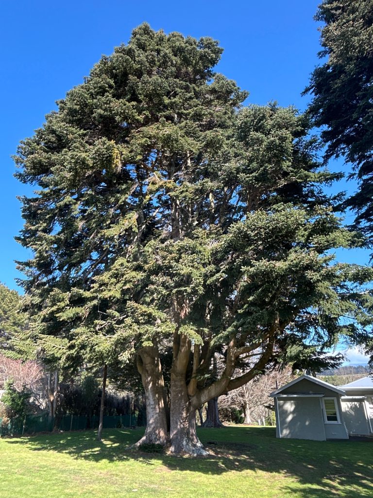
Two Xyst consultants worked for one week across the Tararua district. Site prioritisation was undertaken to ensure trees at key sites were captured, and data was collected on over 1,400 tree assets within streets, parks and cemeteries. The work utilised a mobile data collection tool along with a customised form, to collect a whole tree […]
Russell Kororareka Cemetery
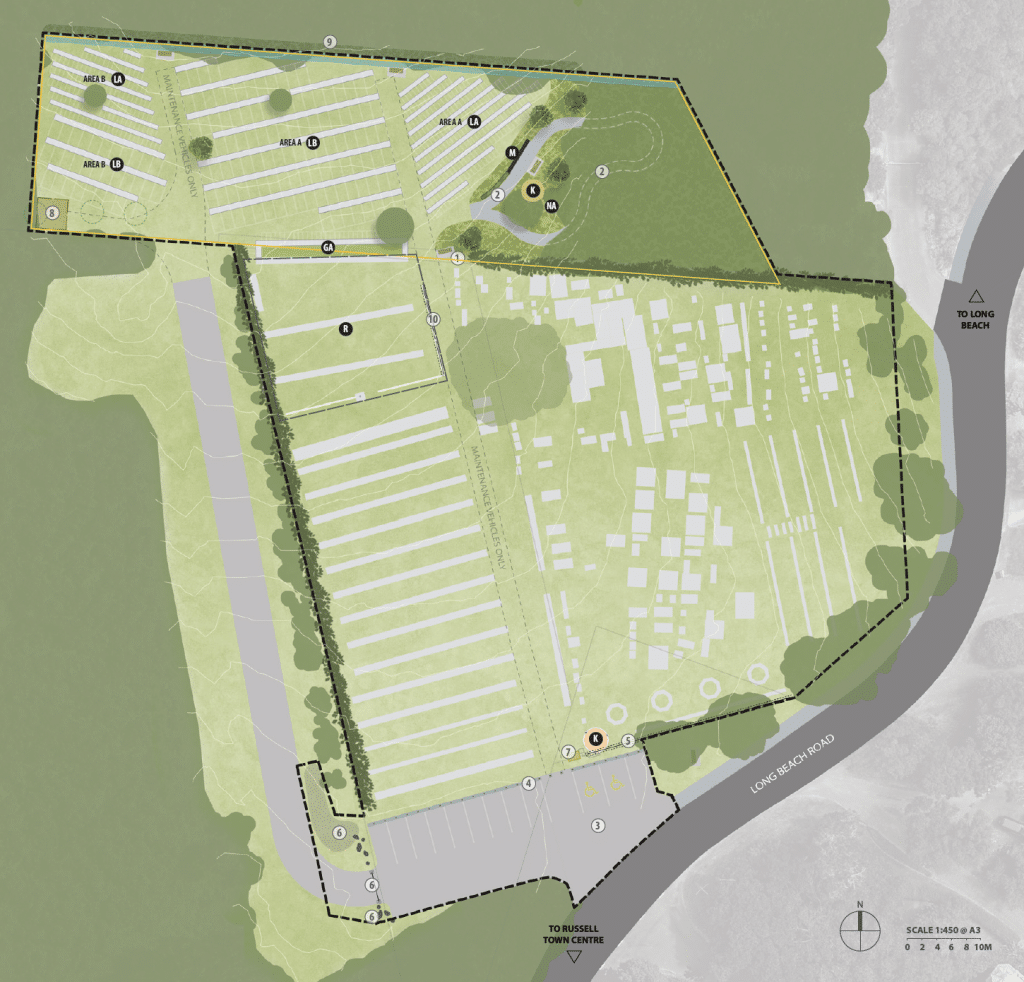
Extension Concept Plan Xyst worked with Far North District Council to develop a concept plan for the Russell / Kororareka Cemetery extension in the Bay of Islands. The project aimed to expand the cemetery by 2,272 m² to meet future interment needs while respecting the site’s cultural significance and scenic hillside location. The project involved engagement […]
Te Henga/Bethells Beach

Public Use Study Following severe damage to the Te Henga/Bethells Beach Surf Life Saving Club’s facility from Cyclone Gabrielle in 2023, Auckland Council commissioned a study to assess how relocating the club within Te Henga/Bethells Beach Reserve might impact public use and open space values. The assessment combined a review of strategic planning documents, on-site […]
Mairangi Bay Beach Reserve
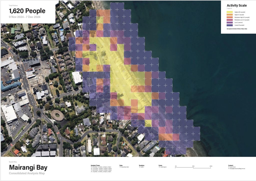
Public Use Study The Mairangi Bay Beach Reserve Public Use Study assessed how the beach and reserve areas are currently used to guide future design and management decisions, including the potential relocation of the Surf Lifesaving Club facility. Conducted over four days in November and December 2024, the study area covered approximately 8,000 m², including […]
Land Status Review and Classification
Devonport-Takapuna Xyst completed a comprehensive land status review for all parks and reserves in the Devonport-Takapuna Local Board area to determine how the land was held and if held under the Reserves Act 1977, if appropriately classified. This work included research and analysis of publicly available information for each land parcel, including title searches, review […]
Western Hills Trail Signage
Assessment and Recommendations Report The Xyst team walked and geo-spatially mapped all 15 tracks that form part of the network, assessing the route, timing, gradients and ground conditions as well as identifying existing signage and assessing the quality of such. Xyst then developed recommendations for new signage, identifying the location, sign type and content of […]
Service Review Assessment
Arboriculture (Tree Section) Xyst worked with Randwick City Council’s management and operational staff involved in the delivery of arboricultural services in the streetscape, identifying areas for improvement, operational excellence and efficiency in service delivery. Xyst conducted reviews, analysing the procedures and resources used, the asset information, current service levels, relevant policies and procedures and financial […]