Project planning and scoping was undertaken to determine methodology – including determining data collection attributes, priority sites, excluded sites and biosecurity protocols.
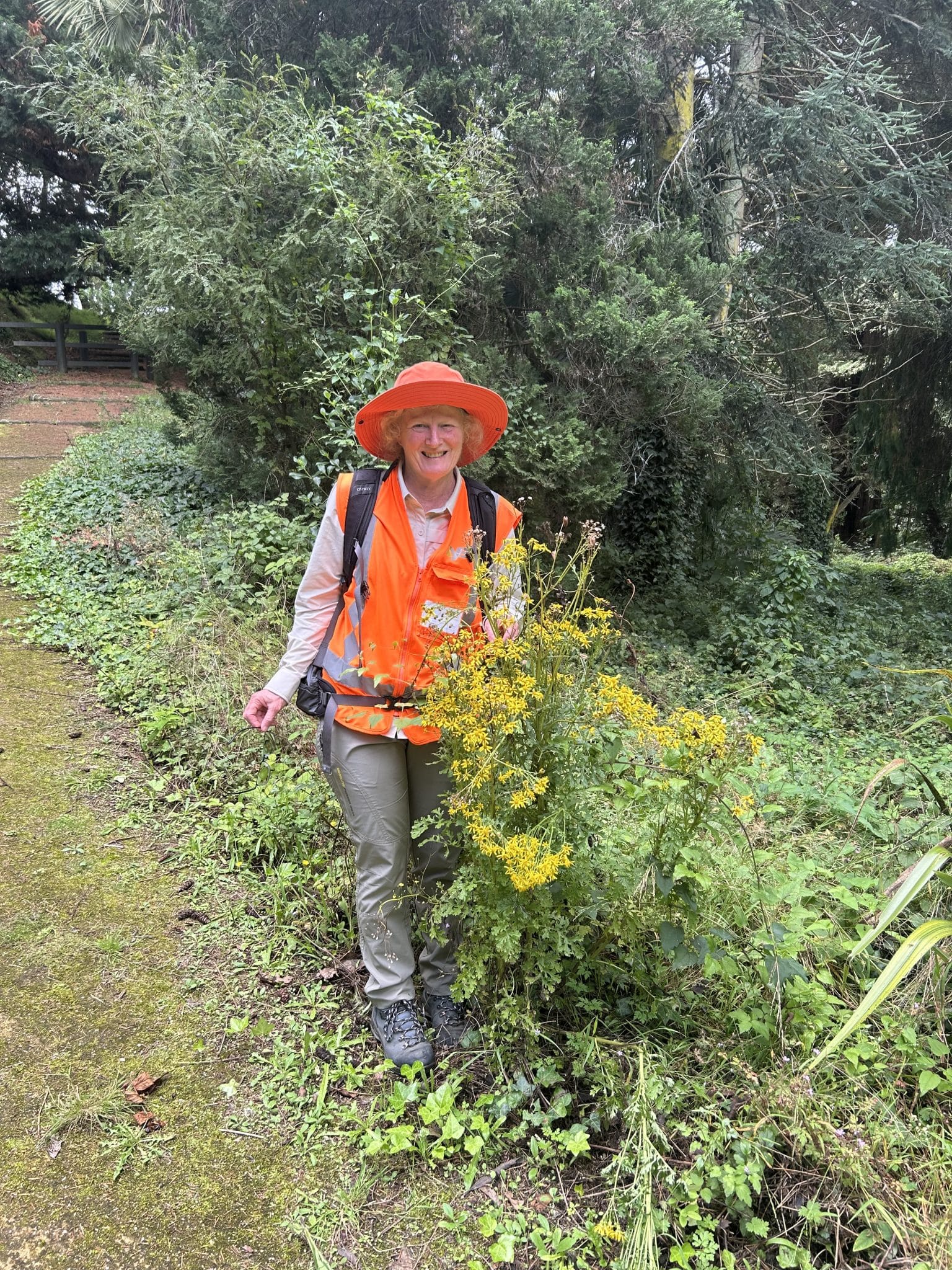
Pest plant data was captured spatially (points and polygons) based on agreed data collection attributes using handheld mobile devices. For each site, observations were also recorded of other environmental weeds that were impacting values, such as native vegetation, structures or amenity.
Field data was post-processed and quality checked to ensure accuracy, and provided to Council as GIS files, excel spreadsheets with linked photos. This included a summary of the most prolific pest plants across the region and a summary of pest plant species by site.